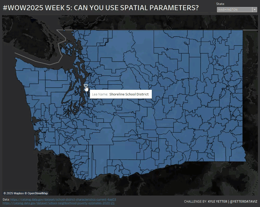
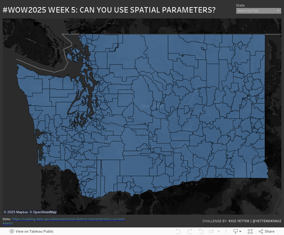
I was looking through the new features available in version 2024.3 recently, and came across Spatial Parameters. Since I had some spatial data from a couple challenges ago, I decided to give it a try and see if I could make it work.
Create a filter for the State (school_district.Statename) to just look at one at a time
Create a map with school locations
Create a Spatial Parameter and a parameter action that populates the parameter from the school district map
Filter the school location map based on the spatial parameter value
Use Dynamic Zone Visibility to hide the school location map when no districts are selected
Dataset
This challenge uses two public datasets from data.gov. I downloaded the .zip Shapefiles from the School District Characteristics and School Neighborhood Poverty Estimates. (We’re not looking into the poverty status of school neighborhoods this time, just using this set for school location points.)
Attribute
When you publish your solution on Tableau Public make sure to take the time and include a link to the original inspiration. Also include the hashtag #WOW2025 in your description to make it searchable!