Introduction
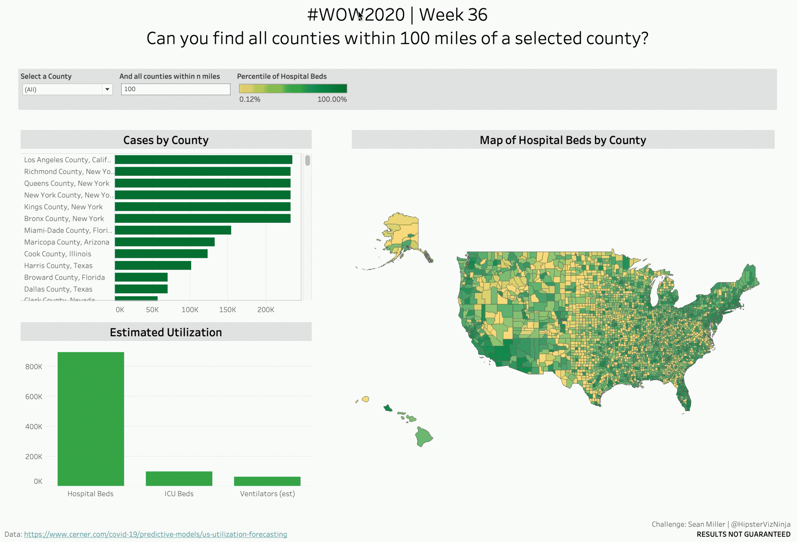
When I was asked to create a dashboard to help public health offices get a handle on the COVID-19 one of the more interesting challenges I was faced with how to allow the user to search for a particular county and filtering a map to only counties within a specified radius. So that’s what your challenge is!
Requirements
- Dashboard Size: 1366px by 968 px
- # of Sheets – up to you
- filter the dashboard by selected county and all counties within a user-selected radius in miles
- A bar chart showing selected counties sorted by cumulative cases as of 8/26 and colored by percentile rank of number of hospital beds
- Create an estimated utilization column chart to show the cumulative utilization for all selected counties
- Create a map that shows the location of the counties selected ALONG WITH the state borders of applicable states
- Match formatting
- Match tooltips
- I created mine WITHOUT ANY ACTIONS…can you?
- OPTIONAL: No dashboard OR sheet actions
Dataset
This week uses a MODIFIED version of the dataset from the Cerner dashboard. You can get it here at data.world
Attribute
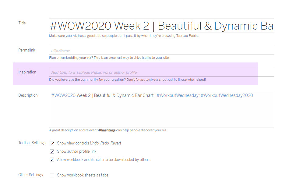
When you publish your solution on Tableau Public make sure to take the time and include a link to the original inspiration. Also include the hashtag #WOW2020 in your description to make it searchable!

Share
After you finish your workout, share on Twitter using the hashtag #WOW2020 and tag @AnnUJackson, @LukeStanke, @_Lorna_Brown and @HipsterVizNinja
